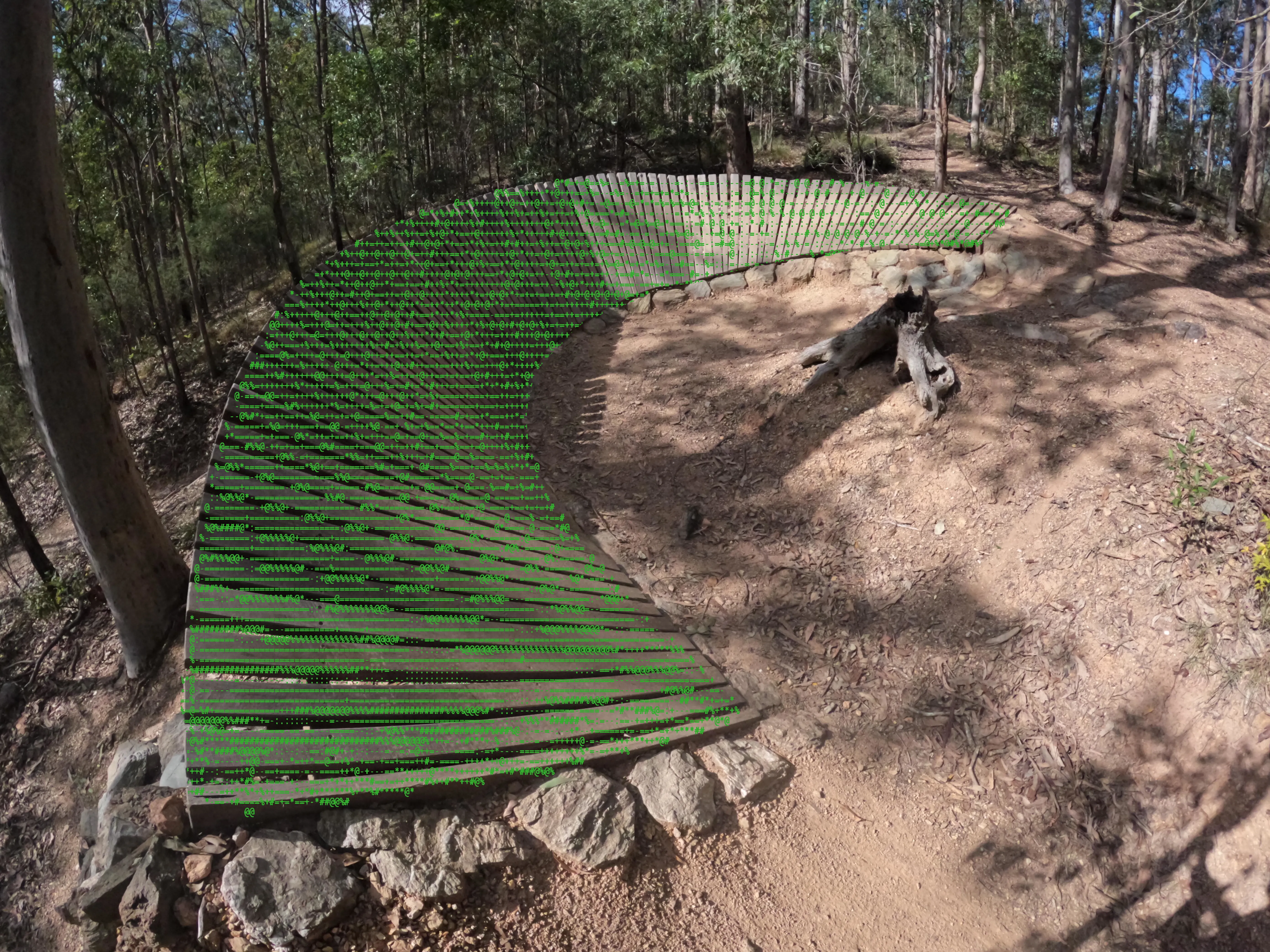
Mountain bike trails,
now in 3D
DirtScan documents mountain bike trails through detailed 3D models, helping riders better understand terrain, scale, and features before they ride.
Videos can only show so much.
Mountain bike videos can be misleading: steep sections look flatter, features look smaller, and trail difficulty is hard to judge. DirtScan turns trails into detailed 3D models so riders can better understand what they are about to ride.
The DirtScan process
Using a GoPro camera, photos are taken of a trail.
- These photos are processed through a custom developed, mountain bike tailored photogammetry pipeline (Photogammetry just means to make 3D models from photos).
- These 3D models are assembled into a single map, and extra information added (lines, points of interests)